Cahaba Mines -- Elvira Mine
Google Earth offers a new tool for finding sites in the field.
The steps that one may use are to "overlay" a map electronic image in Google Earth and then orient and scale the map by trial and error using common features from today and those that are marked on the old map.
Fortunately the railroads, even when long abandoned, show a faint trail on the current aerials, and it helps to have old aerials as well. USGS quadrangle maps can also be a reference and can be used as an overlay as well.
With the overlay properly oriented, Google Earth can be used to establish Latitude/Longitude coordinates for features to find in the field. These data points can then be loaded into a hand held global positioning system (GPS) unit and used to search in the field.
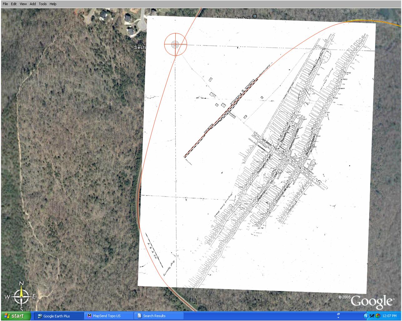
The overlay on Google Earth is shown above, with some of the key orienting features, like the rail lines and the old spur track. Then the features to look for in the field are marked in Google Earth and loaded into the GPS unit.
This stuff really works!