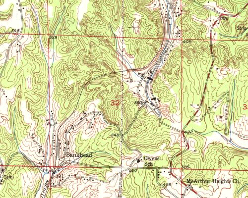
Bankhead Coal Mine |
 |
|
|
This 1949 USGS map image shows the location of two mine tipples, northeast of the village of Bankhead. The mines are served by a spur of the Southern RR mainline that comes down from Calumet, off the map to the north. |
||
Previous image |
Next image |
1949 USGS Map detail |