Bankhead Coal Mine |
 |
|
|
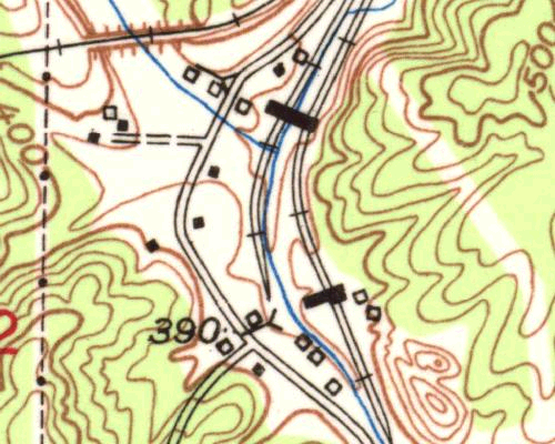
This detail of the 1949 USGS map image shows the location of two mines and tipples.
The following images are from the Library of Congress collection of FSA/OWI photos. These were taken by Arthur Rothstein in February, 1937.
At this time the author is not certain that all of this information is actually related to Bankhead Mine.
Any information that a reader has to share will be appreciated. |
||
Previous image |
Next image |
1949 USGS Map detail |