 Mary
Lee Mine
Mary
Lee Mine
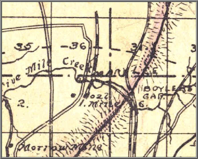
1897 Map
This is a detail from an 1897 Jefferson County map from the UA Map Archive. The Mary Lee is shown here with a north and south branch along Stout's Road.
The most notable landmark in this map is Boyle's Gap where both the L&N RR and the Mary Lee RR cross through the ridge.
1906 Map