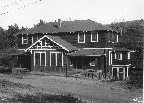
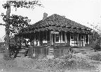
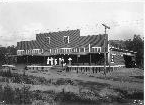
Newcastle Village Gallery
 |
 |
 |
 |
 |
 |
 |
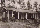 |
| Click on the thumbnails to open a larger view -- click on that view to come back here. | |||
|
|
|||
 |
|||
|
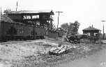
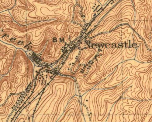
This 1906 map shows the general layout of the No. 2 Mine site and the adjacent village. What is a bit complex is the overall changes that occurred from 1906 to about 1925 when the pictures were taken.
For example, in 1925, the tailings pile (not shown on this map) covered up part of an old village, and required relocation of buildings and the main road to Newcastle. |
|||
Click on the thumbnail views at the top to advance.