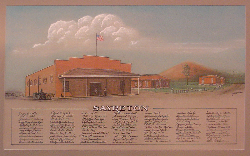
Sayreton -- c. 1920's
 |
|
 |
|
|
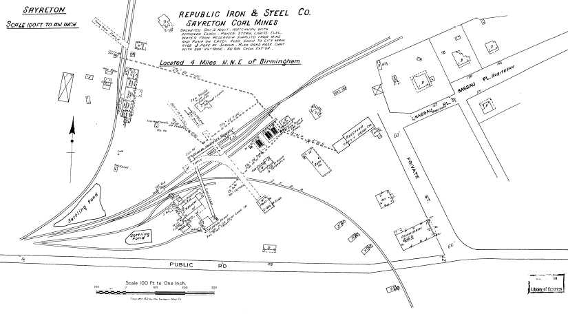
The top map is dated 1922. There have been changes since 1902.
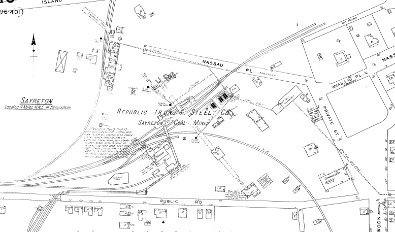
The second map shows the Sayreton plant about 1928. The commissary is located at the lower right, with the engineering office and "emergency hospital" just north of the commissary building. These maps are from the Birmingham Public Library.
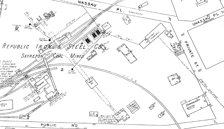
This is the layout shown in Mr. Salter's print. A closer view is shown below of the same area. Imagine that you are looking from the lower right hand corner of this map, to the lower right of the commissary building, and looking toward the top center of the map. |
|
 |
|
 |
|
Previous Page |
Next Page |