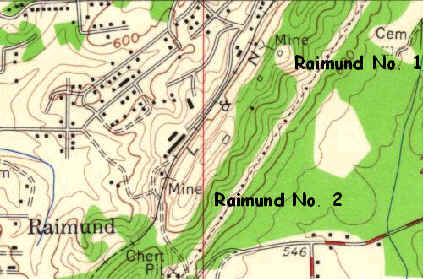
Republic's Raimund Mines
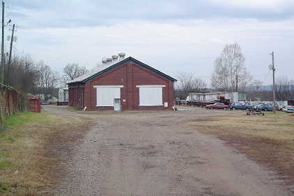
| This view is looking to
the southeast along the former railroad bed at buildings located nearer
to the No. 2 mine site.
This building appears to the be long black structure indicated on the map on the northwest side of the track, opposite the "L" in L & N, and north of mine No. 2. If a visitor has knowledge of the uses of these buildings, an email or map sketch would be appreciated. |
 |
Previous |
Next Photo |
|
|