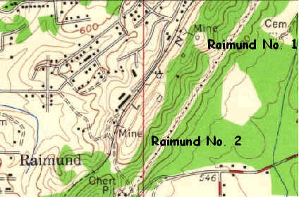
Republic's Raimund Mines
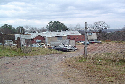
| This view is looking to
the southeast along the former railroad bed at buildings located between
the No. 1 and the No. 2 mine site.
This building appears to the be structure indicated on the map on the northwest side of the track, turned almost perpendicular to the track, between the "L" and the "&" of L & N. If a visitor has knowledge of the uses of these buildings, an email or map sketch would be appreciated. |
 |
Previous |
Next Photo |
|
|